The Adirondacks weren’t always on the map.
In a 1756 British map drawn for troops in the French and Indian War, the region is conspicuously absent.
In its place, the cartographer scrawled these words: “This Country by means of Mountains, Swamps and Drowned Lands is impassable and uninhabited.”
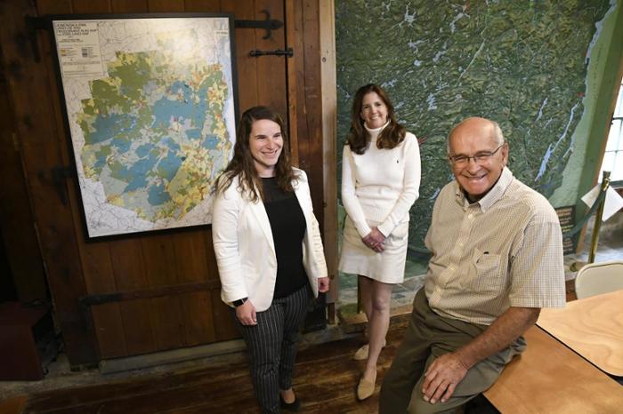
The show is curated by Cal Welch ’62 and his daughter, Caroline ’01
Many later maps omitted all but the eastern side of the Adirondacks, where Lake Champlain and Lake George were used as routes for invasion and trade.
Over time, however, mapmakers began to realize the potential of the Adirondacks for timber, mining, transportation, recreation and tourism. By the mid-19th century, the many lakes and mountains of the region had found their way to paper.
The arc of Adirondack maps is represented in an exhibit, “Parts But Little Known: Maps of the Adirondacks from 1556,” at the Kelly Adirondack Center. The opening reception, part of Union’s Adirondack Week, is Saturday, May 20, from 2 to 4 p.m. The show runs through Sept. 29, 2017.
The show is curated by Cal Welch ’62 and his daughter, Caroline ’01, with items from a private collection and from the Center. They were assisted by Margaret Amodeo, librarian at the Kelly Adirondack Center.
“My favorite maps are the ones of exploration that show what we didn’t know and how quickly we learned about it,” Caroline said. “It’s interesting to note how long it took to develop and discover the Adirondacks, even after the country was founded.”
“When we look at maps, we marvel at what they knew and what they didn’t know,” said Cal. “That’s what makes the maps, especially the older maps, interesting.”
The show includes a 1556 Italian map of the Northeast with nearly unrecognizable landmasses and fanciful drawings of fish and sailing ships. Also featured is the wall-sized 3D relief map of the Adirondacks created by preservationist Paul Schaefer. Mid-19th century maps of the High Peaks, with surprisingly accurate peak elevations, are the work of surveyor Verplanck Colvin. More modern maps show land use, hiking trails, canoe routes and snowmobile trails.
Cal, a retired banker from Scotia, started collecting maps with this late wife, Carol, about two decades ago during a trip to Europe. Caroline, the secretary to State Supreme Court Justice Thomas Buchanan, joins her father in giving talks and attending map shows.
“Maps are a visual history,” Caroline said. “You can read about it in a book all you want, but a map shows what we saw, what we didn’t see, what we understood and what we didn’t understand.”
Cal said he is often astonished by the accuracy of old maps, some of which compare well with contemporary maps made with satellite photography and GPS.
“Some older maps can be overlaid on new ones,” he said. “But the interesting ones … some of them are wildly inaccurate.”
More information on the show and other events in Adirondack Week.